Houston, Texas Map
Houston Map > Interactive Houston Maps
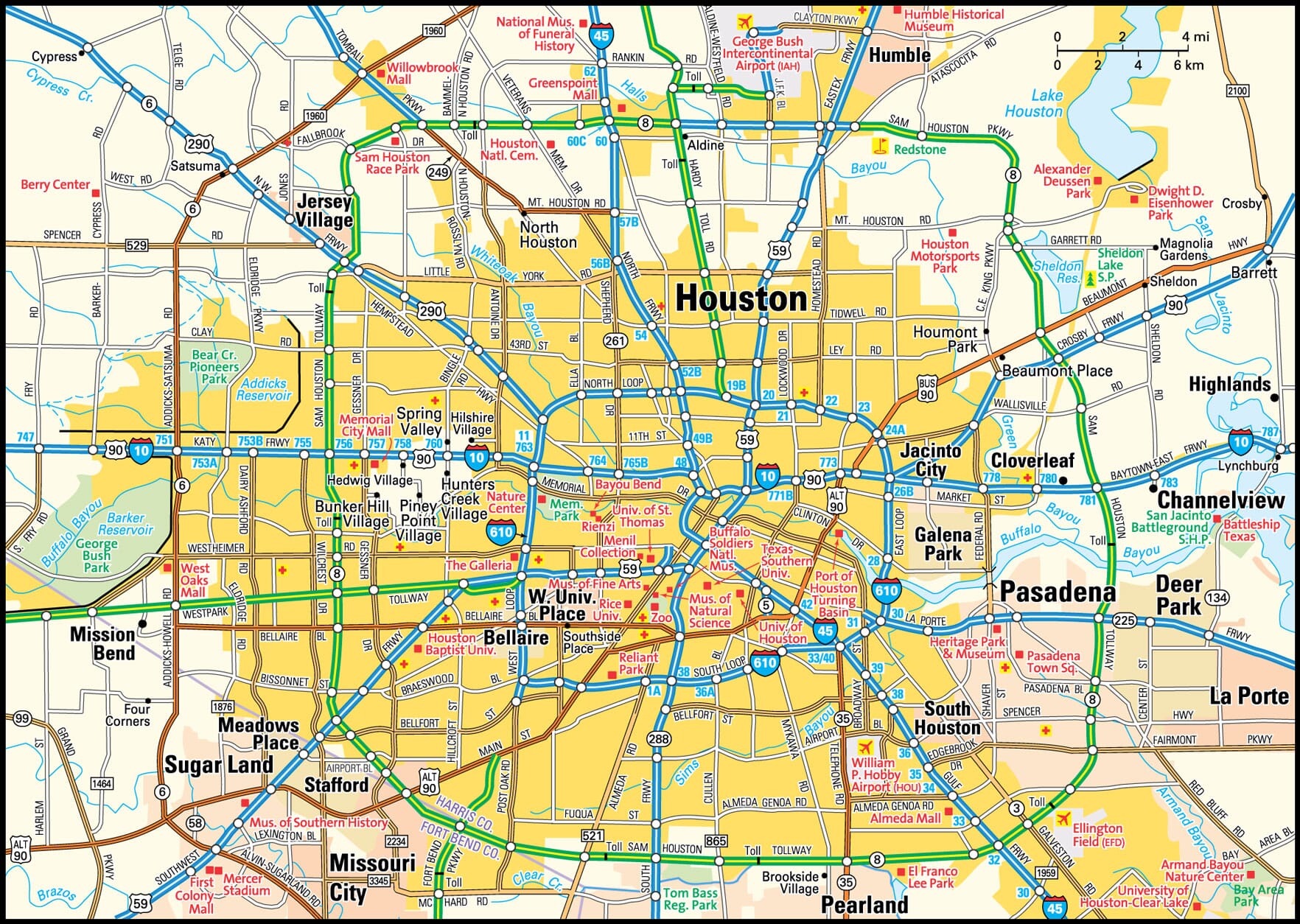
Houston Area Map

Downtown Houston Street Map

The city of Houston originated from a maritime trading post established in 1823 by John Harris. After his death in 1829, his brothers Augustus and John Allen purchased another plot up the Buffalo Bayou and named that trading post after General Sam Houston who had defeated the Mexicans at San Jacinto. The Buffalo Bayou was then converted to a ship channel which led to rapid industrial growth and export of cotton, timber, and cattle. Oil was discovered in 1901 and petrochemical and refining industries took up residence in the area. Decline of oil prices in the 1980s crippled Houston's economy, but medical research, international banking, high-tech manufacturing, and the aerospace industry helped speed recovery.
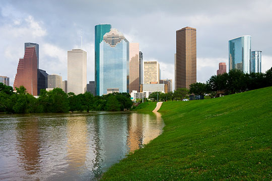
 Houston Skyscrapers, with Buffalo Bayou in the Foreground
Houston Information Directory
- Harris County Government - official Harris County website.
- Houston City Government - official City of Houston website.
- Houston Weather and News - current weather in, and recent news about, Houston.
- Houston Product and Service Guide - Houston enterprises.
All rights reserved.
About Us
The Houston area map and downtown Houston street map are © Globe Turner.